

Charts
Route charts and regional procedures are often spread across separate sources.

Built by long haul pilots for professional pilots
EASA Lido data · Weather · NOTAMsAll briefing sources in one interactive route view.
Built for professional pilots.All briefing sources in one route view.
Built for professional pilots.
Trusted by pilots worldwide











The fragmented briefing
Route charts and regional procedures are often spread across separate sources.
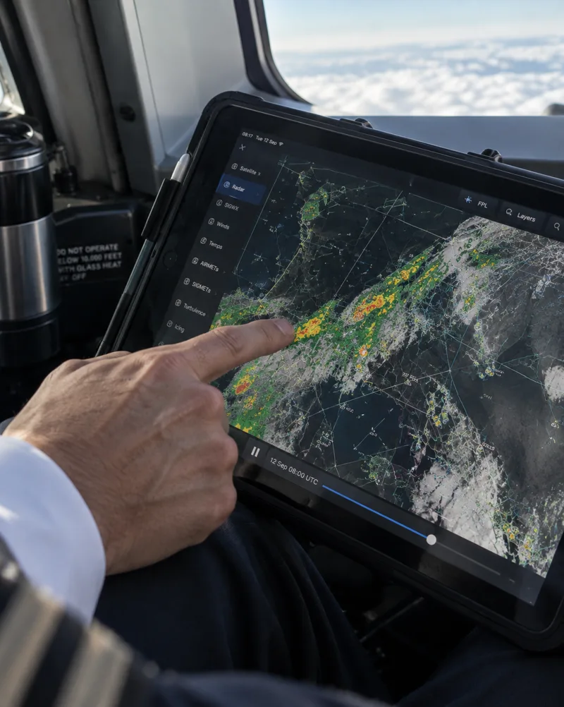
Weather can already be outdated when a traditional briefing package is opened.

Relevant runway information is buried in raw text and decoded under time pressure.

Special procedures and regional context sit in manuals, notes and crew experience.
Choose your access
Buy here and save 10% compared to in app purchase.
All subscriptions provide full access in all 3 apps.Save 10% versus in app purchase.
Full access in all 3 apps.
€116,99 billed once a year. Renews automatically. Cancel at anytime.
€73,79 billed every 6 months. Renews automatically. Cancel at anytime.
€14,84 billed every month. Renews automatically. Cancel at anytime.
After checkout you receive your access details by email, together with the download links for iOS, Windows and Android and everything you need to start briefing right away.After checkout you get your access details and all download links by email.
One membership, every device



The PlanningCharts view
Lido data, weather and NOTAMs on your route.




Type your ATC flight plan or paste it in, and your route is drawn on the globe and into the charts right away.
Tap an airport symbol for a runway sketch and a timeline that shows weather, NOTAMs and threats for the selected time.
Threat Detection
Runway NOTAMs and weather at every airport.

Spot markers at every airport symbol on your route.

See runway NOTAMs in the geographical context of your route.

Compare current weather with runway data in one glance.
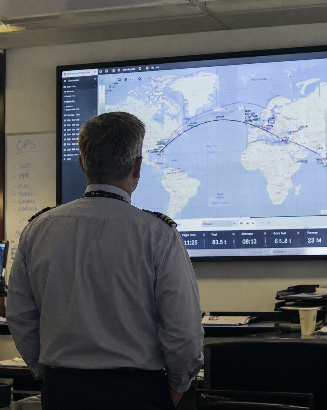
Scan your route fast instead of searching separate tools.
Pilot stories
Proven on every flight, from short haul to NAT.
“Beautifully simplified charts with all the essentials, no distractions, just pure usability. Ideal for efficient planning of my north atlantic flights. You made my NAT crossing so easy.”

How it works
Built by long haul pilots
Focused information wherever you prepare.
Pilot knowledge on your route.
No more searching notes.
Procedures and airspace rules
in one geographical view.
Data becomes visual cues.
Read less, interpret faster.
Prepare anywhere, even offline.
Your briefing stays with you.
PlanningCharts uses Lido data from Lufthansa Systems as its foundation, continuously enriched with current weather and NOTAM information.
Learn about Lido Sky DataIt supports route preparation and situational awareness with pilot knowledge directly on the chart.
It is not primary navigation software and does not replace certified systems, official flight documentation or required operational decisions.
Supports flight preparation only. Does not replace certified navigation systems or official flight documentation.
Common questions
All you need to know before your trial.